Datasets
Follow the links below for information on DIVER and ERMA.
Great Lakes
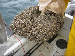
NOAA's Mussel Watch program has been monitoring contaminants and their bioeffects in the Great Lakes by collecting and analyzing data for nearly 3 decades. You can query and download sediment and tissue data with analytical results in DIVER Explorer and view sampling locations in ERMA. More information...
The Great Lakes Regional Database contains compiled and standardized chemistry and bioassay data from NOAA, Great Lakes states, and partners across the region. More information...
Stakeholders are working to clean up contaminated sediments and restore habitat in the St. Louis River AOC within the Great Lakes Basin. Assessment and restoration actions are identifying and addressing beneficial use impairments. More information...
Northeast
The Anacostia River, which runs through Maryland and the District of Columbia, has suffered from many decades of pollution, mainly from runoff and hazardous waste sites. NOAA has compiled contaminant chemistry and toxicity data in support of clean-up and restoration efforts. More information...
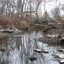
Query and download PCBs, metals, and other hazardous substances data from the Cornell-Dubilier site in New Jersey. More information...
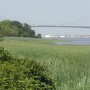
NOAA has compiled contaminant chemistry and toxicity data for the Delaware Estuary from many studies and sources in support of clean-up and restoration efforts. More information...
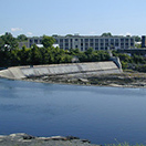
Explore over forty years of compiled and standardized sediment and tissue chemistry data from the Hudson River and tributaries, including long-term monitoring of PCBs in fish, birds and mammals. More information...
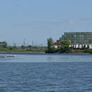
NOAA has compiled contaminant chemistry and toxicity data for the Newark Bay Watershed from many studies and sources in support of clean-up and restoration efforts. More information...
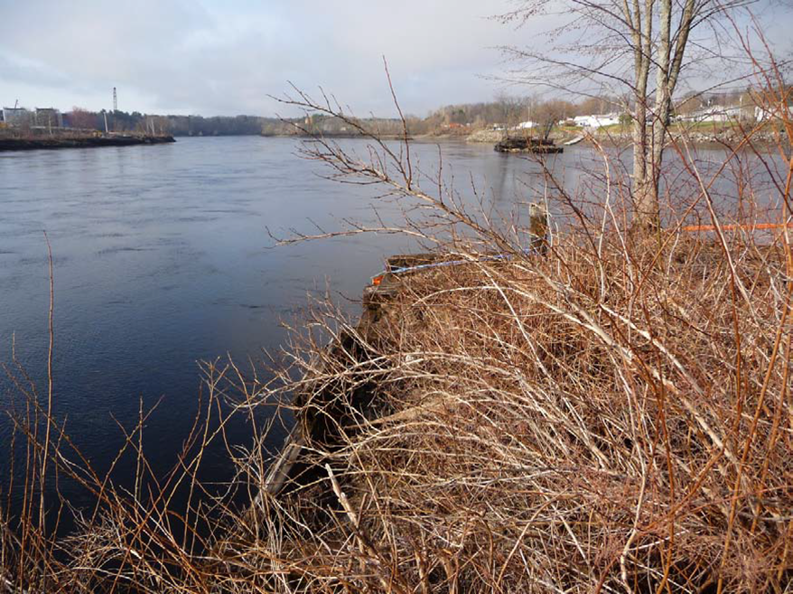
A compilation of datasets from studies throughout the Penobscot River watershed in Maine. Query and download standardized sediment, soil and tissue chemistry analysis results from multiple data providers. More information...
Query and download sediment, soil, water and tissue chemistry data from the Raritan Bay Slag site in New Jersey that that is being used to evaluate injuries as part of the NRDA. More information...
Northwest & Arctic
View geographic and contaminant data compiled to address environmental protection and cleanup, and in preparation for response to environmental emergencies in the Arctic and Alaska. More information...
The Duwamish River, once a wide, meandering river with large areas of mudflats and marshes, was largely lost by the 1940s through channelization and filling to support industrial and commercial development. Hazardous substances have been released since the early 1900s, resulting in injuries to fish, birds, wildlife, and their habitats. More information...
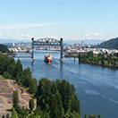
NOAA has compiled and standardized contaminant chemistry and bioassay data from many studies in support of the Portland Harbor Superfund Site NRDA on the Lower Willamette River. More information...
NOAA has compiled and standardized datasets including chemistry samples and toxicity testing results from over 300 studies spanning nearly 40 years into a regional Puget Sound contaminant chemistry and toxicity database. More information...
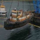
On April 19, 2017 an out of service tugboat, the Tug Powhatan, owned by Samson Tug & Barge, sank from its dock in Starrigavan Bay near Sitka, Alaska. More information...
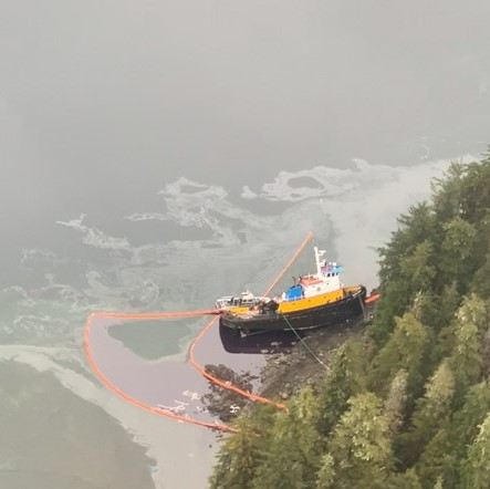
On March 21, 2022, the tug Western Mariner experienced a steering failure, collided with its freight barge, and was pushed aground in Neva Strait, 18 miles northwest of Sitka, Alaska. The grounding resulted in a diesel release. Potential impacts to natural resources from the spill are being investigated. More information...
Southeast
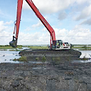
The restoration projects associated with the Deepwater Horizon oil spill focused on restoring natural resources in the Gulf of America. These data provide information on locations, project status, and monitoring activities. More information...
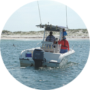
The NOAA repository for environmental data related to the Deepwater Horizon Natural Resource Damage Assessment. More information...
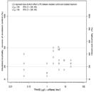
The toxicity testing program performed by the Deepwater Horizon NRDA Trustees encompassed more than 40 species. Results are available to query and download. More information...
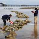
NOAA has standardized and integrated restoration monitoring data from Trustees and restoration projects More information...
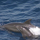
NOAA has compiled and standardized regional Gulf of America contaminant chemistry and bioassay data from many sources including the States, USEPA, USFWS, USGS, USACOE and long-term monitoring studies (NS&T, Mussel Watch, EMAP). More information...
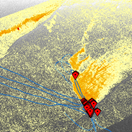
These data were collected as part of the NOAA's DWH Lessons Learned Studies on methods to estimate oil slick coverage and thickness using remote sensing. The Team developed methods for synoptic collection of satellite imagery, airborne imagery, surface oil characterization, oil and water chemistry, and subsurface oil slick data. More information...
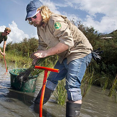
Information and files related to the NOAA-led RESTORE projects. More information...
Southwest & Pacific Islands
NOAA has compiled and standardized contaminant chemistry and bioassay data from many studies and sources to support assessment and restoration in the region. More information...
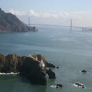
The container ship M/V Cosco Busan struck the San Francisco- Oakland Bay Bridge Nov. 7, 2007 releasing 53,000 gallons of fuel oil into the water. The spill caused significant impacts to fish, wildlife, habitat and human recreational uses. NOAA has compiled data used in the NRDA, now available in DIVER and ERMA. More information...
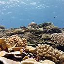
NOAA has compiled contaminant chemistry and bioassay data from Pacific Islands region including Hawaii, Guam, Saipan, Midway, Palmyra, and Mussel Watch and EMAP/NCA studies. More information...
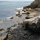
Information from the Response and Assessment of the Refugio Beach Oil Spill off the coast of Santa Barbara can be viewed in context with ERMA. More information...
NOAA has compiled and standardized contaminant chemistry and bioassay data from many local and regional studies to support assessment, remediation and restoration in the San Diego Bay area. More information...
